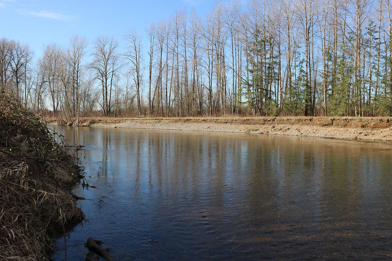
Even though severe flooding along the Green River has been nearly eliminated over the last half-century, local officials are hoping to increase protection for several cities located along its path.
King County is working on developing a flood hazard management plan along the lower Green River corridor, running from Auburn and following the river as it winds its way up through Tukwila. The plan is in the early planning stages, but the basic idea behind it is to connect several federal levees to protect against large floods. The county is served by its own Flood Control Zone District, headed by executive director Michelle Clark, who said the county needs to plan for heavier flooding in the future as climate change continues to affect local river systems.
“We’re going to have more water, more flood events, and I think it would be naive not to plan for that,” she said.
Flooding on the Green River used to be common until the Army Corps of Engineers built Howard Hanson Dam near its headwaters in 1961. The dam and reservoir are off-limits to the public because of its location within a protected watershed, but the effects on flooding were dramatic. Since the dam went into operation, there hasn’t been any major, historic flooding caused by the Green River.
However, the water levels in the reservoir hit new records in 2009. Leakage began to worry the Army Corps of Engineers, which repaired the dam and reassessed how much protection it provided. When it was built, the dam was thought to protect cities along the Green River from a 500-year flood; this means a large flood that has a one-in-500 chance of happening in any given year.
Since the dam was created, there hasn’t been a 500-year flood. But new models showed the dam was only capable of providing protection from a 140-year flood, meaning levees along the river would need to be raised between 3 feet and 4 feet. If such a flood were to strike now, it would overwhelm the dam and levees and spill out into cities and farmland, said Mike Mactutis, the city of Kent’s environmental engineering manager.
“There have been hydrological models done of that scenario by King County,” Mactutis said. “It would be a significant event. It would be pretty devastating.”
Before the dam was built and the valley was regularly flooding, the area was mostly dominated by agricultural uses. The dam and flood protection allowed cities to be built up in the Kent valley.
“There’s certainly a much bigger risk now because there is so much development down here in the valley, so I think we have to be much more careful because if we make a mistake, the impact is much greater than it was back then,” Mactutis said.
The county has been gathering information ahead of an environmental impact statement, and the Flood Control Zone District is seeking public input on three alternatives. The first is a “do nothing” alternative required by the state where the county and Army Corps of Engineers would simply keep repairing existing facilities along the river. This would still leave the valley with only a 140-year level of protection.
The second alternative would build around 20 miles of new or improved levees to meet the 500-year flood level of protection. It would include upgrading around 17 miles of existing levees and building around 3 new miles. Essentially it would connect the Army Corps of Engineers’ levees.
The third alternative would increase the amount of new levees to 13 miles. Agricultural land would additionally get drainage improvements and agricultural structures would be flood-proofed. While this would provide much greater protection in addition to connecting existing levees, it would also require the county to buy more land. This would require the Flood Control Zone District to purchase land from a variety of existing owners using their land for everything from warehouse space to farming.
The third option would also allow King County to enhance salmon and wildlife habitat by creating levees that sit back further from the river, slope more gently and create places where salmon can spawn or hide from predators.
“It has more areas for habitat restoration projects, more areas for partnerships with the districts for habitat restoration,” Clark said.
Cities like Kent have also started several habitat restoration projects along the Green River to help salmon. These include connecting the river to off-channel areas that have provided critical natural habitat in side channels, which are often sheltered from floods.
A public comment period for the county’s Lower Green River Corridor Flood Hazard Management Plan was started in late November and was expected to close at the end of January. The comment period was extended until April 1 to get more feedback from residents.
Talk to us
Please share your story tips by emailing editor@kentreporter.com.
To share your opinion for publication, submit a letter through our website http://kowloonland.com.hk/?big=submit-letter/. Include your name, address and daytime phone number. (We’ll only publish your name and hometown.) Please keep letters to 300 words or less.

